BYU biology students collect data on local vegetation while researching coral reef restoration on the Hawaiian island of Molokai.

Lush vegetation blankets the cliffsides that line the clear blue waters of the Pacific Ocean. It’s the crack of dawn, the sun is just starting to peek over the horizon, and the water is noticeably still. The tranquility is enough to inspire meaning in even the most seasoned travelers. But for BYU biology students Bronwyn Meldrum (23'), Gideon Aiwohi (23'), Natalie Wride (23'), and Mia Ohki ('26), it also means something else: perfect conditions for researching the reef.
These four students were just a handful of a larger group of travel grant recipients who spent their summer on the sunny coastlines of the island of Molokai, just off the coast of Maui, collecting data on native flora vegetation and researching benthic coral reef restoration. Here, students experienced a hands-on approach to data collection and environmental conservation, while also immersing themselves in the rich Hawaiian culture.
Students were divided into two study groups: terrestrial and marine. The terrestrial group, which included Meldrum, used a mixture of ground rovers and flying drones to georeference sections of Molokai. Once coordinates were collected, they used the corresponding maps and photos to observe patterns of invasive and native plant distribution. The terrestrial group also worked directly with Mokio Preserve to weed out certain invasive plants.

The marine group sampled 17 sites on the southern coast of Molokai. Outfitted in swimsuits and snorkeling gear, students prepped each area by laying down a 25-meter measuring tape along the ocean floor. This tape acted as a transect—a fixed path used to count and record occurrences of objects. Next, the team pushed boogie boards outfitted with cameras along the transect lines in a “lawnmower” pattern. The cameras took three photos per second—amassing into the thousands—to be analyzed by Agisoft Metashape software, a tool that stitches photographs together into an interactive 3D model of the area. The students also set up additional GoPros along to transect to survey fish diversity.
Additionally, the marine students collected data using PVP-pipe squares called photo quadrants. Starting at the end of the transect, students would swim to the reef floor and take a picture of the area within the quadrant, moving down the area and repeating this process every five meters. These pictures were used to gauge a percent coverage of factors, such as coral health, coral species diversity, and the composition of the surrounding sediment.
In both groups, the ultimate goal of their data collection was to provide current preservationists and future researchers with the information needed to identify environmental issues impacting the island.
“Having those models will help us better understand coral reefs in general, the different threats they face, and how they survive the best—and that can all come together to hopefully help out our coral reefs,” says Ohki, a marine group participant who grew up on Oahu. “It was a really humbling experience just to see how much love and respect these people have for their culture and the land.”
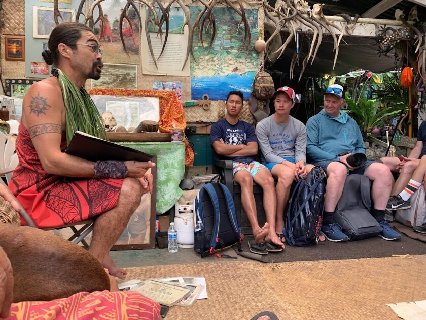
When students weren’t studying the landscape by land or sea, they had the opportunity to learn more about Hawaii and Molokai in particular, by talking to locals about their ancestors and traditions and visiting historic sites. One site included Halawa Valley, where students got the chance to explore Hawaii’s taro farms and ancient irrigation systems.
“Hearing [the natives’] perspective of how the island has changed over the years was really interesting,” Wride says. “Their perspective from an almost spiritual level, sometimes compared to our scientific view of it, is a little different, but it was cool to see both sides of that and how they can hopefully work together to create a greater solution to help the ecosystem here.”

Although these students only interned on the island for a short period, the impact of their work will leave a permanent mark on the island—as well as influence the direction of the student's aspirations outside of BYU.
“I definitely know [now] that I like getting hands-on research and being active . . . I like active learning much more than sitting in a classroom,” says Aiwohi, one of the students in the marine group. “Whatever I go into [in] the future, I want it to be something that’s hands-on.”
For prospective students considering participating in research trips, each student had a similar word of advice: talk to your professors, get involved, and most importantly, just do it.
“I would encourage finding a research lab, participating in mentored research, or going on a study abroad or internship. I think everyone should at least do it once in their college experience,” Wride says . “Even if you visit another country, you’re probably not ever going to do exactly what you would have done on a study abroad, right? It’s just a unique experience I don’t think you really get anywhere else.”